Place Names of New Brunswick: Where is Home? New Brunswick Communities Past and Present
 Introduction |
  Alphabetical Listing |
  County Listing |
  Indexes |
  Definitions
 Skip Navigation Links
Located on the Canaan River, 5.35 km NE of
Cherryvale, on the road from
Canaan Forks to
Canaan Road:
Brunswick Parish,
Queens County: settled c1792 by Baptist families from the St. John River valley: named for the biblical place of Canaan: PO 1848-1912: in 1866 New Canaan was a farming and lumbering settlement with 18 families including 4 Thorne families: in 1871 New Canaan had a population of 150: in 1898 New Canaan had 1 post office, 1 store and a population of 75: included
Corey: PO
Corey 1905-1922.
Latitude
:
46° 5'
Longitude
:
65° 26'
County
:
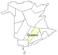
Queens
Parish
:
Brunswick
County location in province

 County map showing parishes
 Zoom in

Cadastral Maps
New Brunswick cadastral maps show the basic features of the province along with the boundaries, lot number, and grantee’s name for land granted by the province. These maps are cumulative, showing all grants regardless of date.
Zoom in

or
download
the full size version.
3696 x 2761 - 2.3 mb
|