Place Names of New Brunswick: Where is Home? New Brunswick Communities Past and Present
 Introduction |
  Alphabetical Listing |
  County Listing |
  Indexes |
  Definitions
 Skip Navigation Links
Located on the Heron Channel, Chaleur Bay, 3.1 km SE of
Charlo, on the road to
Blacklands:
Colborne Parish,
Restigouche County: PO 1857-1968: in 1866 it was a farming and lumbering settlement with about 35 families, including 7 Hamilton, 7 Henderson and 5 McIntyre families: in 1871 River Charlo and surrounding district had a population of 275: in 1898 River Charlo had 1 post office, 1 store, 1 steam sawmill and shingle mill, 1 church and a population of 100: today River Charlo is in the village of Charlo.
Latitude
:
47° 59'
Longitude
:
66° 17'
County
:
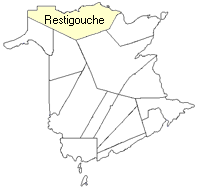
Restigouche
Parish
:
Colborne
County location in province

 County map showing parishes
 Zoom in

Cadastral Maps
New Brunswick cadastral maps show the basic features of the province along with the boundaries, lot number, and grantee’s name for land granted by the province. These maps are cumulative, showing all grants regardless of date.
Zoom in

or
download
the full size version.
3333 x 2786 - 2 mb
|