Place Names of New Brunswick: Where is Home? New Brunswick Communities Past and Present
 Introduction |
  Alphabetical Listing |
  County Listing |
  Indexes |
  Definitions
 Skip Navigation Links
Located on E side of the St. John River, 1.29 km W of
Meductic, on the road to
Northampton:
Southampton Parish,
York County: PO 1853-1914: in 1866 Upper Southampton was a farming and lumbering community with 50 families, including 5 Brooks families, 5 Grant families, 6 Linentine families and 4 Young families: in 1871 it had a population of about 250: in 1898 Upper Southampton had 1 post office, 1 sawmill and a population of 50: included
Green Bush.
Latitude
:
46° 0'
Longitude
:
67° 30'
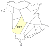
County
:
York
Parish
:
Southampton
County location in province

 County map showing parishes
 Zoom in

Cadastral Maps
New Brunswick cadastral maps show the basic features of the province along with the boundaries, lot number, and grantee’s name for land granted by the province. These maps are cumulative, showing all grants regardless of date.
Zoom in

or
download
the full size version.
3633 x 2739 - 2.5 mb
|
Zoom in

or
download
the full size version.
3676 x 2769 - 2.7 mb
|