Place Names of New Brunswick: Where is Home? New Brunswick Communities Past and Present
 Introduction |
  Alphabetical Listing |
  County Listing |
  Indexes |
  Definitions
 Skip Navigation Links
Located on W side of Bathurst Harbour, 2.24 km NW of
Bathurst, on the road to
Peters River:
Bathurst Parish,
Gloucester County: originally called Bathurst Village: PO 1858-1915: in 1898 Bathurst Village was a farming and lumbering community with 1 post office, 9 stores, 2 hotels, 2 steam sawmills, 1 grist mill, 2 churches and a population of 1,100: renamed West Bathurst in 1915: PO
West Bathurst 1915-1957: included the community of
College Hill: West Bathurst is now within the city of Bathurst.
Latitude
:
47° 37'
Longitude
:
65° 40'
County
:
Gloucester
Parish
:
Bathurst
County location in province

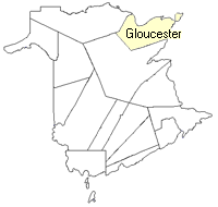 County map showing parishes
 Zoom in

Cadastral Maps
New Brunswick cadastral maps show the basic features of the province along with the boundaries, lot number, and grantee’s name for land granted by the province. These maps are cumulative, showing all grants regardless of date.
Zoom in

or
download
the full size version.
3821 x 2776 - 2.9 mb
|